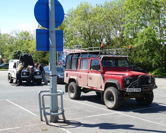
Green Laning in Britain
Green laning in England and Wales is legal only on routes that carry public vehicular rights, mainly byways open to all traffic.
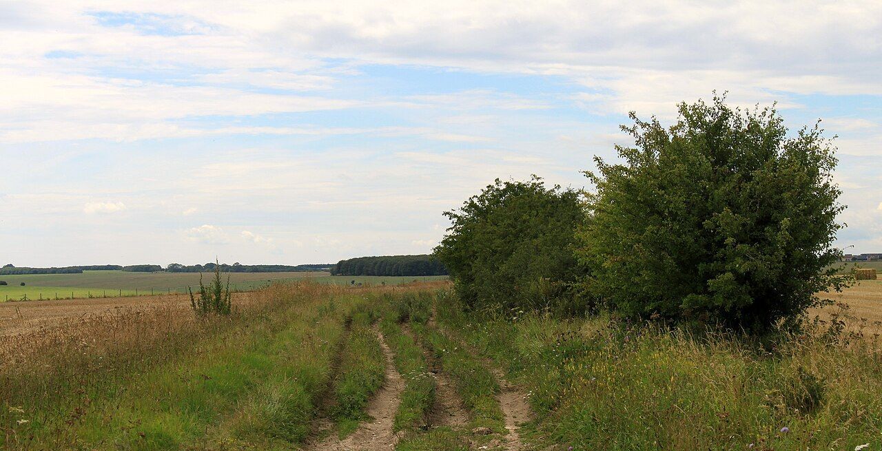
Green laning in England and Wales is legal only on routes that carry public vehicular rights, mainly byways open to all traffic. "Green lane" is not a legal category, so the answer for any lane comes from the definitive map held by the local highway authority, not from how the lane looks.
What a green lane is and which routes carry vehicles
Natural Resources Wales describes "green lane" as a descriptive term for an unsurfaced lane, with no legal status of its own. Devon County Council makes the same point from the other side: a green lane may be a public right of way, but it may also be entirely private or carry no public rights at all. A track that looks old, wide and well used proves nothing about whether a vehicle may drive it.
The legal record is the definitive map and statement, which records four kinds of public right of way: footpaths, bridleways, restricted byways and byways open to all traffic, usually shortened to BOATs. A BOAT is a highway over which the public have a right of way for vehicular and all other kinds of traffic, even though it is used mainly like a footpath or bridleway. GOV.UK describes greenlaning as driving public rights of way where vehicular rights exist, and says these are primarily BOATs. Footpaths, bridleways and restricted byways are not the routes that guidance points to, and a driver or rider should treat them as off limits to motor vehicles. Scotland has its own access law, so none of this transfers north of the border.
What the NERC Act 2006 changed
Before 2006, many unsurfaced routes carried vehicular rights that had never been written onto the definitive map. Section 67 of the Natural Environment and Rural Communities Act 2006 extinguished unrecorded public rights for mechanically propelled vehicles on highways that were not already shown on the definitive map and statement as BOATs. The Act includes exceptions, but they are narrow and technical, and a driver cannot rely on them without confirmation from the highway authority.
The practical effect is simple. Historic motor use, an old Ordnance Survey marking or a local habit of driving a lane does not make it legal now. A route that is recorded as a BOAT can still carry vehicular rights. Even then, a highway authority can restrict or close a route with a Traffic Regulation Order, so a BOAT on the map may still be closed to vehicles for part or all of the year.
Vehicle requirements and checking a route
A BOAT is a highway, so the ordinary road rules apply. GOV.UK's greenlaning guidance for Salisbury Plain says the vehicle must be road legal and the driver must have a licence, insurance, vehicle tax and an MOT certificate. That applies to trail bikes as much as to 4x4s. Individual exemptions, such as for older vehicles, are set out on gov.uk and change from time to time, so check there rather than assuming. Before driving an unfamiliar lane, work through these steps:
- Find the route on an Ordnance Survey or other map, as GOV.UK suggests, then confirm its status on the definitive map with the local highway authority, which is legally responsible for public rights of way.
- Check that it is recorded as a BOAT, not a footpath, bridleway or restricted byway.
- Ask whether any Traffic Regulation Order restricts or closes it.
- If the status is unclear, or the lane may be private, do not drive it. Questions about adding or changing a right of way go to the local council.
The Green Lane Association (GLASS) and the Trail Riders Fellowship both publish codes of conduct for using vehicular rights of way responsibly. Read the current versions on each organisation's own website before heading out.
The takeaway is to treat every unsurfaced lane as closed to vehicles until the definitive map shows it as a byway open to all traffic and the local highway authority confirms there are no current restrictions. Only then, in a road-legal, taxed, insured and MOT'd vehicle, is green laning legal.
Sources
- Natural Resources Wales, “A Guide To Definitive Maps and Changes To Public Rights of Way” (PDF): A guide to definitive maps and changes to p
- UK legislation guidance, “Natural Environment and Rural Communities Act 2006” notes: Division
- GOV.UK, document on rights of way terminology: Row 3278588 interim OD.docx
- GOV.UK, “Salisbury Plain: greenlaning”: Salisbury plain green laning
- GOV.UK/legislation guidance on the NERC Act: Definitive map guide
- Legislation.gov.uk, Natural Environment and Rural Communities Act 2006 (c.16): Data.xht
- GOV.UK, “Rights of way and accessing land: Use public rights of way”: Use public rights of way
- GOV.UK, “Technical Standard - Public rights of way”: Technical Standard Public rights of way Redacted